 by
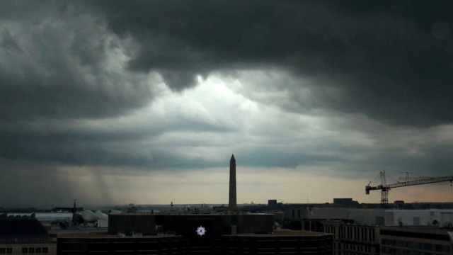
by Paducah, Kentucky – The National Weather Service has issued a warning for big hail and destructive winds due to the scattered strong to severe thunderstorms that are sweeping across western Kentucky this afternoon. The warning is in effect until 7 p.m. Central Daylight Time.
The National Weather Service in Paducah, which is located in the United States, reports that the storms have the potential to produce hail with a diameter of up to 1.5 inches and wind gusts that range from 60 to 70 miles per hour. Paducah, Mayfield, Hopkinsville, Bowling Green, and several more counties in the surrounding area are among those that have been impacted. The major window of impact is currently from now until early evening, and it is anticipated that the overall amount of rainfall will remain below a quarter inch.
Even while the likelihood of tornadoes occurring is very low, forecasters are warning that the severity of the storms could still cause power outages and damage to property. It is strongly recommended that motorists exercise caution during their evening commutes, particularly in regions that are experiencing heavy winds or hail. Throughout the day, residents should lock up their belongings that are outside and keep a close eye on the weather.

It is not unusual for the region to experience this degree of activity at the beginning of April; nevertheless, the combination of hail and wind will raise the likelihood of isolated hazards. By tonight, it is anticipated that the storms will have subsided, and by Friday morning, circumstances will return to their normal quiet.
During times of severe weather, it is important to avoid traveling and to keep an eye out for local notifications. Additionally, it is important to stay inside during warnings.