 by
by Mount Holly, NJ – Get Ready, New Jersey. This weekend is going to be messy due to the weather. The National Weather Service has issued many alerts to keep people informed about the heavy rain, coastal flooding, and strong gusts that are predicted to persist through Saturday.
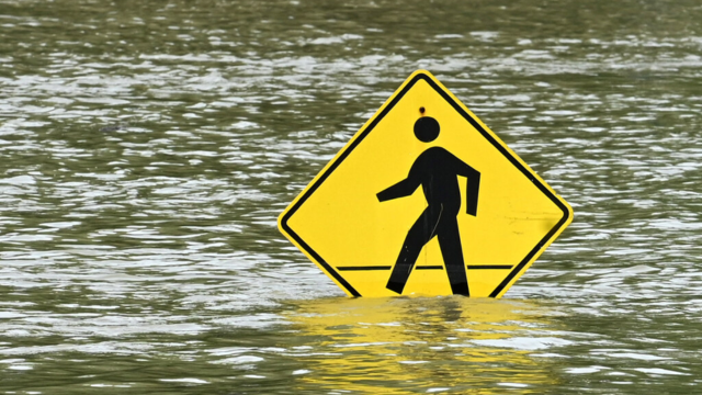
Up to 1.5 inches of rain are predicted for the whole state, with potentially even more in some southern regions. Low-lying communities along the coast may experience flooding due to rising tides and strong gusts, particularly on Friday and Saturday when the tide is at its highest.
Additionally, from Friday evening through Saturday, a gale watch is in force, affecting the waters from Long Branch all the way down to Cape May. Rethink your plans if you intend to be on the water since choppy waves and high gusts could create hazardous circumstances.

Why is it becoming worse? Saturday’s full moon is predicted to raise tide levels even further, increasing the risk of floods. Boaters, tourists, and residents near the coast should use caution and remain vigilant.
Don’t put away your jackets just yet, even if the rain is predicted to stop by Sunday. The weekend will be chilly and windy due to the dropping temperatures.
What You Must Do:
- Pay attention to local warnings and forecasts.
- Steer clear of flooded roadways.
- Before severe winds arrive, secure any loose outdoor goods.
- Wait for conditions to improve before engaging in any boating or marine activity.
New Jersey, be careful and stay dry out there!