 by
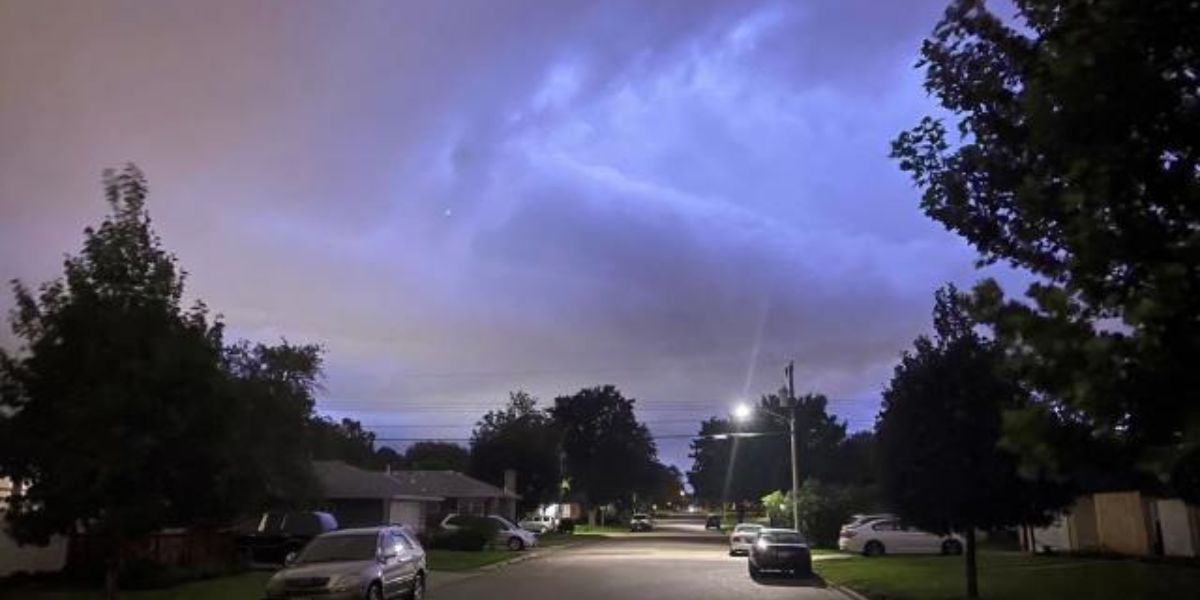
by Mother Nature is bringing her own version of Fourth of July fireworks to northern Minnesota this afternoon, as severe storms develop across the region with the potential for damaging winds, large hail, and isolated tornadoes.
The National Weather Service issued a severe thunderstorm watch at 2 p.m. Friday, covering areas from the eastern Dakotas across the northern third of Minnesota. The watch remains in effect until 9 p.m. and includes cities such as Fargo, Grand Forks, Bemidji, Brainerd, Grand Rapids, and Duluth.
Forecasters warn that the storms could produce hail as large as two inches in diameter, wind gusts up to 70 mph, and frequent lightning. The strongest storm cells may also bring a limited risk of isolated tornadoes.

“Thunderstorm coverage is expected to increase this afternoon along a cold front arcing across northern Minnesota, eastern North Dakota, and north-central South Dakota,” the NOAA Storm Prediction Center stated.
“Damaging gusts are the primary risk, but isolated large to very large hail is also possible, particularly over north-central and northeast Minnesota.”
Weather models suggest storm activity will continue to intensify through the afternoon and evening, with the HRRR model projecting storms to evolve from around 3 p.m. to as late as 3 a.m.
Residents are urged to stay weather-aware and monitor updates from local officials and the National Weather Service, especially if outdoor holiday plans are in place.