 by
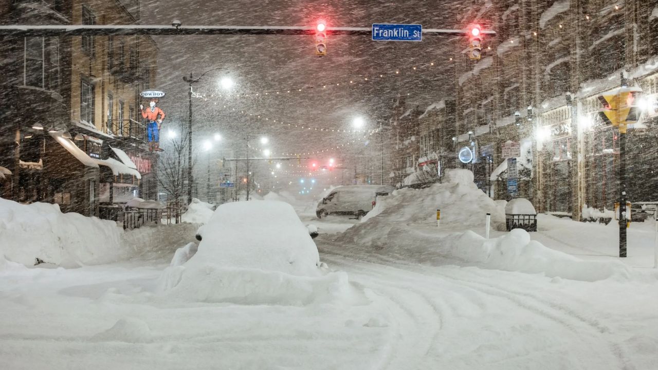
by The National Weather Service (NWS) has issued winter storm warnings across 13 U.S. states, forecasting heavy snow, gusty winds, and icy conditions from Sunday night through Tuesday. Some regions could see up to 15 inches of snow, making travel dangerous and potentially disrupting daily commutes.
Widespread Winter Storm Across the Nation
The NWS warns that a powerful Arctic system will sweep across the Midwest, Great Lakes, and Appalachian regions, bringing hazardous conditions, reduced visibility, and slippery roads. The agency cautioned that both morning and evening commutes could be significantly impacted, with blowing snow and icy patches making travel difficult or even impassable in some areas.
The states under winter storm warnings include Tennessee, North Carolina, Virginia, Illinois, Indiana, Michigan, Pennsylvania, Ohio, New York, Kentucky, Wisconsin, Maryland, and Maine.
Tennessee Braces for Heavy Snowfall
In Tennessee, the Smoky Mountains region—including Blount, Cocke, Sevier, Southeast Greene, and Unicoi Counties—could see 10 to 15 inches of snow near Mount LeConte and Newfound Gap, with winds up to 40 mph lasting until Tuesday morning.
Counties like Upper Cumberland, Bledsoe, and Scott may receive 1 to 3 inches, with higher elevations surpassing that total.

North Carolina Faces Icy Peaks and Strong Winds
North Carolina’s Smoky Mountains are also under alert, with Swain County expected to see 2 inches in valleys and over a foot above 5,000 feet.
Counties including Ashe, Watauga, and Avery could experience winds up to 45 mph and 4 inches of snow, while Madison, Mitchell, and Yancey may get up to 10 inches on the highest peaks near the Tennessee border.
Virginia and West Virginia Expect Dangerous Road Conditions
In Virginia and parts of West Virginia, regions like Pocahontas, Randolph, Greenbrier, and Webster Counties could receive 8 inches of snow with winds reaching 45 mph.
Areas such as Ritchie, Wirt, and Putnam Counties may see 4 inches, while Bland, Smyth, and Tazewell Counties are forecasted for 1 to 3 inches by Tuesday morning.

Illinois and Indiana: Lake-Effect Snow Intensifies
Across Illinois, Lake-effect snow will create localized heavy bands, particularly near Interstate 57 and Lake Michigan, where up to 10 inches is expected in Cook and Lake Counties.
The NWS warns that travel may be temporarily crippled due to whiteout conditions. In Indiana, Lake and Porter Counties could experience snowfall rates of 3 inches per hour, leading to up to a foot of snow and winds over 30 mph.
Michigan Hit by Widespread Snow Bands
In Michigan, Marquette and Alger Counties could receive 6 to 8 inches, while Cass and Manistee Counties expect 2 to 6 inches.
Port Huron and Sanilac County may also see 4 inches by Monday morning. Lake-effect snow will continue across Upper Michigan, with the heaviest snowfall overnight.
Pennsylvania and Ohio Prepare for Slippery Roads
In Pennsylvania, Elk and McKean Counties are expected to receive up to 5 inches by Tuesday, while Fayette and Westmoreland Counties could see 3 inches and 40 mph gusts.
Ohio will see 3 to 5 inches in Summit, Portage, and Trumbull Counties, with the Ohio Department of Transportation urging drivers to slow down and carry emergency kits in their vehicles.

New York and New England States Under Heavy Alerts
New York faces one of the most intense snowfalls, with Wayne, Oswego, and Cayuga Counties seeing up to 9 inches and Southern Erie County expecting 8 inches.
Further north, Maine’s Central Highlands and North Woods will face ice and up to 6 inches of snow, while Maryland’s Garrett County expects 3 to 6 inches with 40 mph winds.
Midwest and Great Lakes States Remain on Edge
Kentucky’s Bell and Pike Counties could see 2 inches, while Harlan and Letcher may see up to 4 inches. Wisconsin, particularly Vilas, Ashland, and Iron Counties, could see up to 3 inches by Monday morning, and Milwaukee may receive 5 inches, creating slippery road conditions and reduced visibility overnight.
NWS Urges Caution and Preparedness
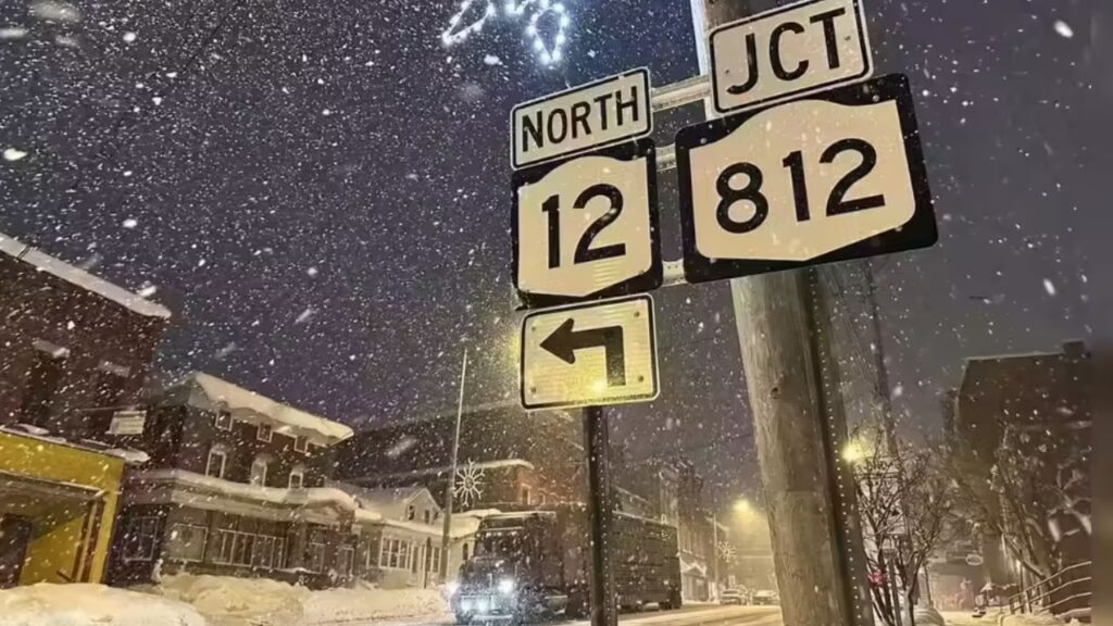
The National Weather Service emphasized the unpredictability of lake-effect snow, warning that conditions can shift rapidly between clear skies and blinding snow within minutes.
Residents are encouraged to monitor weather alerts, delay non-essential travel, and keep flashlights, warm clothes, food, and water in vehicles in case of emergencies.
Are you in one of the affected states? Tell us how the storm is impacting your area in the comments below. Share your local updates, snow photos, or travel tips to help keep your community informed during this winter storm.