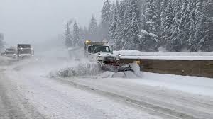
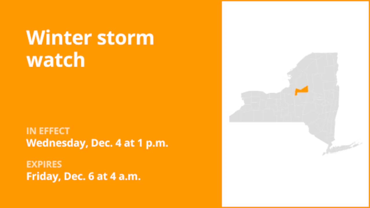
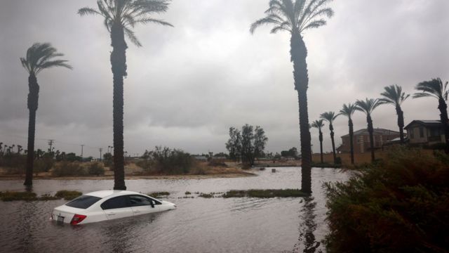
Winter Storm Brings Snowy Mountain Conditions to Western Washington. Through Sunday afternoon, a low-pressure system will continue to bring rain to the lowlands and snow to the mountains in western Washington.
The Cascades and Olympics are predicted to receive the most snowfall, with snow levels having decreased to about 3,000 feet. By noon, snow accumulations could be as much as two feet in some places. Lowland areas will continue to see rain, with most places seeing totals of about a quarter inch.
High pressure will provide a temporary reprieve by Monday and Tuesday, bringing lower temperatures and drier conditions. Wednesday sees the return of unsettled weather, which increases the likelihood of precipitation.
Snowfall in the Cascades and Olympics is predicted to reach up to 12 inches in Snoqualmie, Stevens, and White Passes today due to a low-pressure system. There could be up to two feet of snow on some heights.
Lowland regions might have up to half an inch of rain, while coastal regions could see up to half an inch. This afternoon, the Cascades’ winds will subside. By the evening, the storm should subside, but Monday and Tuesday will see sunlight and a brief dry spell.
But toward the middle of the week, the weather becomes erratic again, increasing the likelihood of rain and snow during the weekend. Be ready for situations that change quickly.


 by
by 


