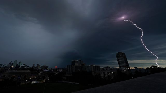
The National Weather Service Storm Prediction Center has released a Day 2 Convective Outlook that shows there is a small chance of severe thunderstorms from the Central Plains to the western Oklahoma Panhandle and Texas.
There will likely be a few strong thunderstorms on Monday afternoon and early evening, mostly in western and central Kansas.
A system of upper-level low pressure is currently over the Four Corners and is expected to move northeast across the Central Plains. As this storm moves forward, it will increase mid-level flow and bring in colder temperatures, which could lead to severe weather. A weak surface low and some light low-level rain are expected to move across Kansas.
Early Monday, showers and thunderstorms will be happening from the Texas Panhandle to far eastern Colorado and western Kansas. These storms will be caused by warm air rising through the atmosphere. The storm will likely move mostly in a straight line, but vertical shear will be strong enough to support organized updrafts, which could lead to big hail.
Because of diurnal warmth, the afternoon is when bad weather is most likely to happen. With temperatures expected to rise to the low to mid-70s and dewpoints in the low 60s, it might be good for discrete supercells that can cause all kinds of severe weather, even storms. Between 4 PM and 10 PM, especially from central Kansas into south-central Nebraska, is when bad weather is most likely to happen.


 by
by 


