 by
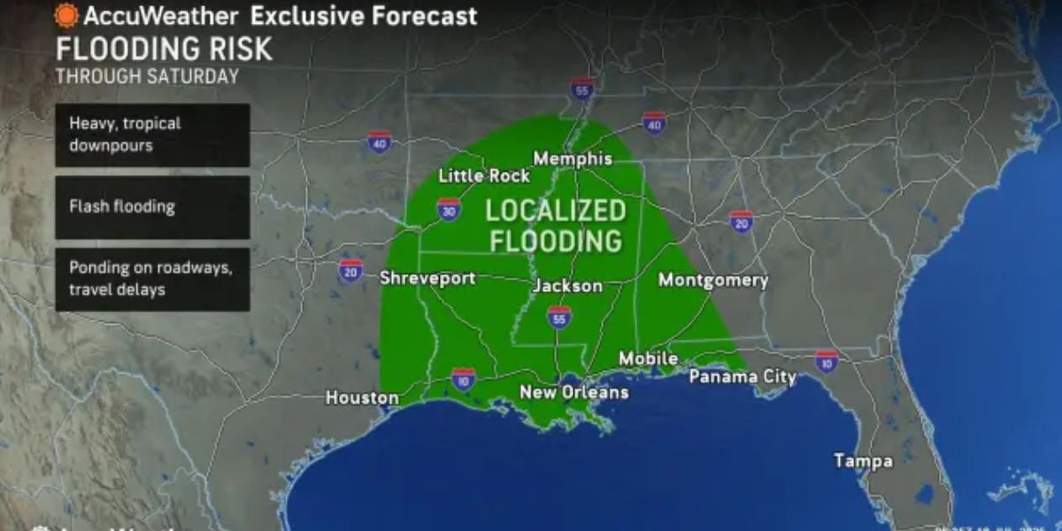
by A volatile weather pattern is setting up across the central Plains, Mississippi Valley, Ohio Valley, and Appalachians, putting millions at risk of flash flooding into next week, according to AccuWeather meteorologists.
- Tropical Moisture Surge: Gulf moisture will surge into the Mississippi Valley, combining with existing humidity and fueling intense rain.
- Canadian Cold Front Interaction: A front dropping from Canada will stall and then lift, acting as a trigger for rippling storm systems moving northwest to southeast.
- Excessive Rainfall Expected: Rainfall totals between 1–4 inches are expected across the region from Saturday through Monday, with localized amounts reaching an AccuWeather Local StormMax™ of 13 inches.
- Flash Flood Danger: Rainfall rates could hit 2–3 inches per hour, overwhelming storm drains and flooding low-lying areas.
- Crop Impact: The deluge arrives during a critical phase for corn and other crops. While plants will absorb some moisture, the surplus will lead to significant runoff.
- At-Risk Areas: Parts of Iowa, West Virginia, Pennsylvania, Maryland, and Virginia, already soaked from previous storms, face heightened flash flooding risk.
- Flooding May Spread East: The flooding threat could expand into parts of the Atlantic Seaboard.
- Localized Storm Risk: Isolated severe thunderstorms could trigger flash floods in the interior Southwest, Great Lakes region, and Gulf Coast.
AccuWeather advises residents in affected regions to stay alert, monitor forecasts, and be prepared for rapidly changing conditions.