 by
by Texas – A dramatic weather swing is set to hit Texas, Missouri, Arkansas, and Oklahoma, where temperatures could challenge daily record highs just days after a powerful Arctic cold front brought freezing temperatures and even snowfall to the region. Meteorologists warn that the rapid shift could also increase wildfire risks as dried vegetation meets warm, breezy conditions.
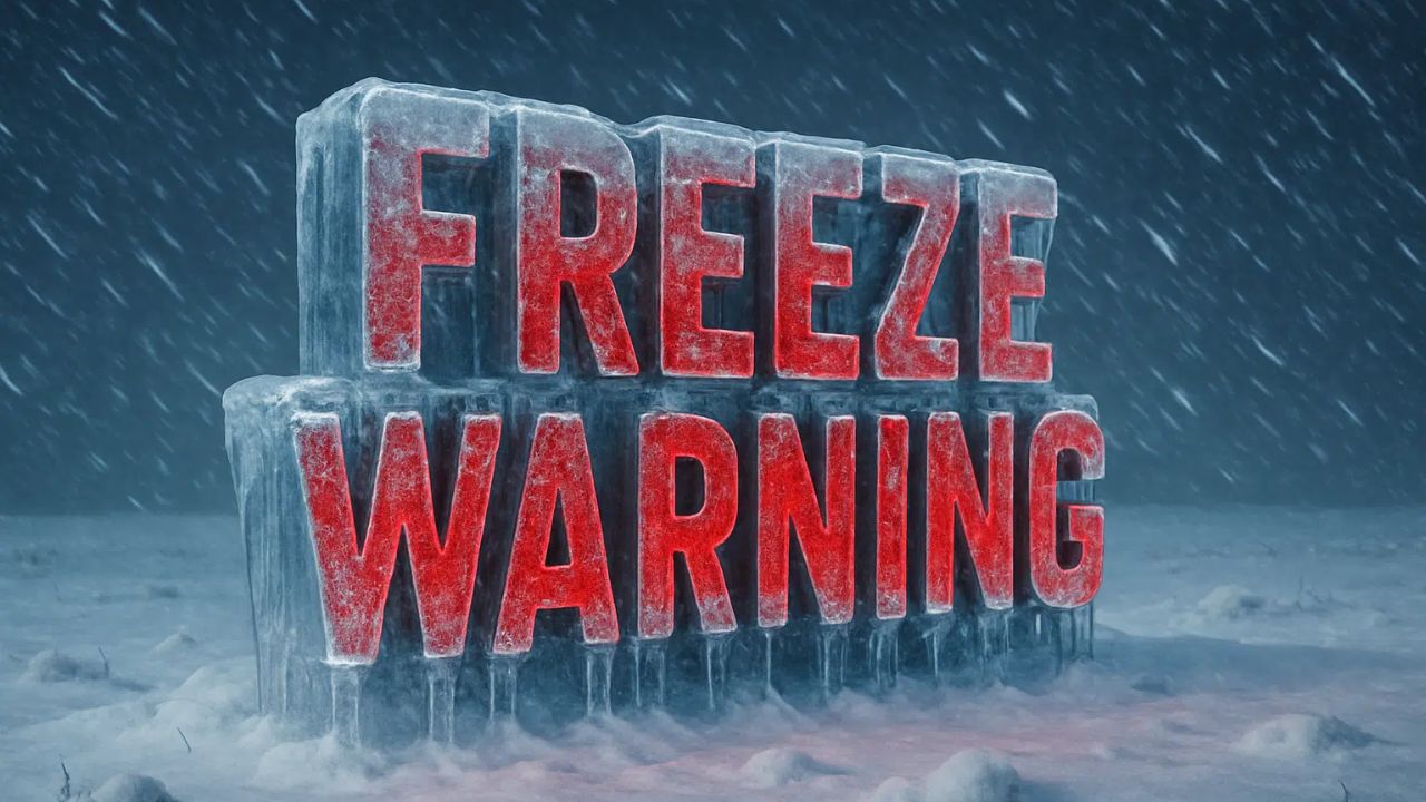
Arctic Cold Front Brings Record Lows
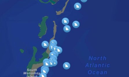
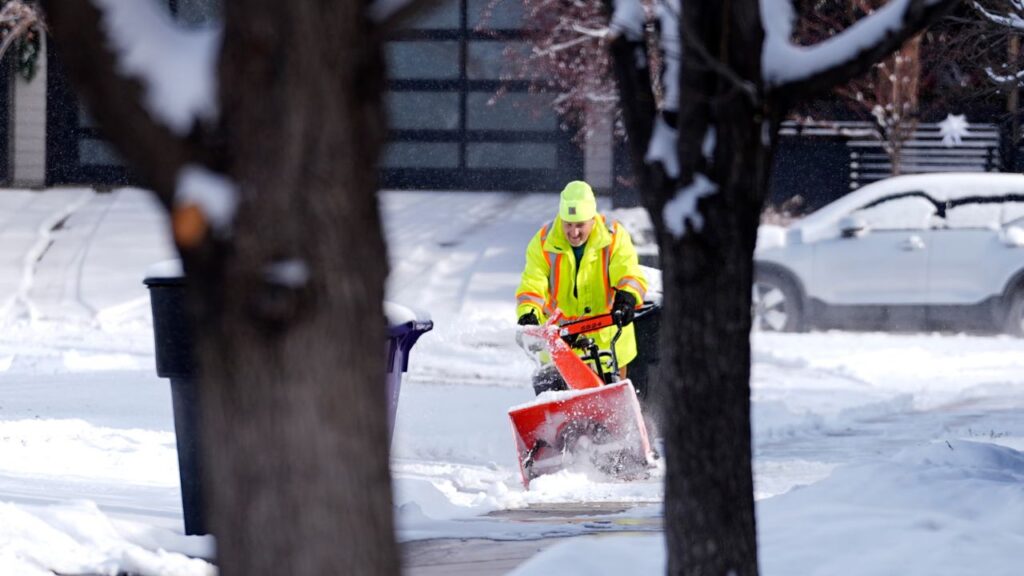
Earlier this week, the central and southern U.S. experienced a significant early-season cold spell, with temperatures plunging well below seasonal averages. The National Weather Service (NWS) issued freeze warnings across the South, including Florida, where temperatures felt more typical of mid-winter, according to NWS meteorologist George Rizzuto.
More than 70 record-low temperatures were set across the eastern and southern U.S., including cities such as Miami, Charleston, South Carolina, and Cincinnati. Overnight lows in Texas and Oklahoma hovered near or below freezing, while Missouri and Arkansas also experienced temperatures far below normal.

Rapid Shift to Record-High Temperatures
The cold blast, however, was short-lived. Forecasts from AccuWeather and other weather services predict a swift rebound as southerly air surges northward, causing temperatures to rise into the 70s and 80s by the end of the week.
On Friday, several cities may challenge or break daily record highs:
- Russellville, Arkansas: Record daily high of 81°F set in 1958
- Springfield, Missouri: Record daily high of 78°F set in 1964
- Abilene, Texas: Record daily high of 84°F set in 1989
- Borger, Texas: Record daily high of 81°F set in 1988
- Tulsa, Oklahoma: Record daily high of 79°F set in 1960
- Stillwater, Oklahoma: Record daily high of 81°F set in 2020
- Oklahoma City, Oklahoma: Record daily high of 80°F set in 1999
This represents a temperature swing of 20 to 30 degrees in just a few days in some locations.
Fire and Safety Concerns
The combination of warm temperatures and breezy conditions raises concerns for wildfire ignition and rapid spread, particularly across the Plains states, where grasses and brush have already dried out. The NWS forecast notes that much of the West and Central U.S. will see highs from the 60s–70s today increasing into the 80s in the Southern Plains, running 10–20 degrees above normal, with some Northern Plains locations nearing 30 degrees above average by Friday.

Extended Warm Outlook
The NOAA Climate Prediction Center indicates that above-average temperatures may persist across much of the central and eastern U.S. through mid- to late-November. Meanwhile, the Northeast could see potential snow and icy precipitation later this week.
Have you experienced these extreme swings in your area? How do you prepare for such rapid temperature changes and wildfire risks? Comment below and share your tips for staying safe during unpredictable weather.