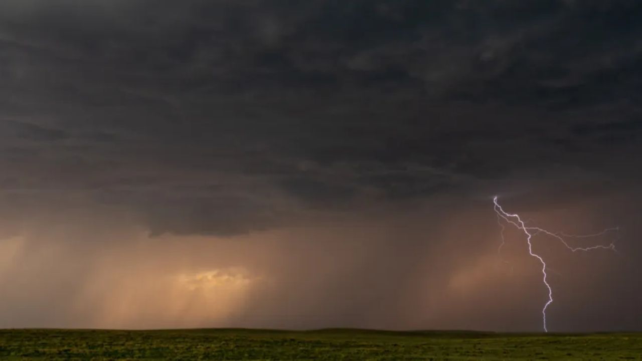
Southwest Missouri, MO – More than 10,000 residents in southwest Missouri were urged to take immediate shelter on Friday afternoon as a powerful thunderstorm moved through the region, bringing strong winds and damaging hail. The rapid onset of the storm left many residents scrambling for safety as warnings were issued by local authorities.
Fall Severe Weather Season Hits the Midwest
The central and Midwestern United States often experience a secondary severe weather season in the fall, though storms during this time are generally less frequent than in the spring. According to National Weather Service (NWS) meteorologist Ben Deubelbeiss, residents are still at risk of significant damage from fast-moving storms that produce hail and high winds.
“This is not your typical spring severe weather, but these fall storms can still pack a punch,” Deubelbeiss said.
Severe Thunderstorm Warning Issued
At 2:39 p.m. CST, the NWS St. Louis office issued a severe thunderstorm warning for parts of southwestern Franklin County and southern Gasconade County. The advisory remained in effect until 3:30 p.m. CST as a strong storm approached Owensville, traveling east at approximately 25 miles per hour.
The primary hazard identified in the warning was quarter-size hail, which posed a risk of vehicle damage and injury to anyone outdoors. Radar data confirmed a maximum hail size of 1 inch, with wind gusts reported below 50 mph.
Areas Impacted and Storm Timeline
The NWS provided a detailed timeline for areas expected to be affected by the storm:
- Bland: around 2:40 p.m. CST
- Owensville: around 2:45 p.m. CST
- Other areas: Canaan and Leslie
Residents were strongly advised to seek shelter in a well-built structure, stay away from windows, and monitor official weather updates. “This storm is capable of producing large hail,” the bulletin warned, emphasizing the potential danger to both people and property.
Safety Precautions and Recommendations
Authorities stressed the importance of remaining vigilant and following official guidance. Residents were urged to:
- Stay indoors and avoid unnecessary travel
- Keep clear of windows and exterior walls
- Monitor updates via NWS alerts and local emergency channels
- Be prepared for potential follow-up warnings if the storm worsened
The NWS further noted that isolated thunderstorms were possible across southeast Missouri, and scattered showers and storms were expected across the Ohio and Tennessee Valleys, Mid-Atlantic, and Southeast through Saturday, associated with a passing low-pressure system.
Community Response and Outlook
While the storm caused disruption and concern, no major injuries have been reported so far. Officials continue to monitor conditions and may issue additional advisories if the storm persists or intensifies. Residents are reminded that precautionary measures such as remaining indoors and following official alerts are critical to staying safe.
The severe thunderstorm warning for the identified Missouri counties remained active until 3:30 p.m. CST, with the NWS encouraging residents to remain attentive to evolving weather conditions.
Have you or your community been affected by today’s severe storm? Share your experiences and tips for staying safe in sudden weather events in the comments below!


 by
by 


