 by
by The strongest showers and thunderstorms have moved out to sea, but we are still seeing heavy showers and thunderstorms in the central and eastern parts of the state. Heavy showers and rumbles are moving east between Raleigh and Wilmington. They are missing both towns, but they are giving much-needed rain to some farmland in that area.
We’ll see this move toward the Cape and coastal parts of North Carolina. Over the next 24 to 48 hours, high pressure will try to push it back toward the shores of North and South Carolina through clouds, gusty showers, drizzle, and fog.
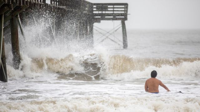
Today, places that do get some scattered showers and embedded storms may get some small hail, strong winds, and short bursts of heavy rain. With the wind always coming from the shore, we could also see rough surf, beach damage, and rip currents along the coast.