by
by Indianapolis, IN — A fast-moving winter system is expected to bring light snowfall to portions of central Indiana early Sunday, with the National Weather Service forecasting “up to 1 inch of snow” mainly for areas north of Interstate 70.
Light Snow Set to Brush Central Indiana Early Sunday
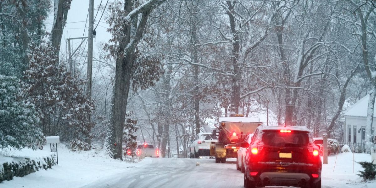
A narrow band of moisture will track across the region before sunrise, producing a quick burst of accumulating snow for communities north of I-70. According to the National Weather Service in Indianapolis, “light snow will develop late Saturday night and continue into early Sunday morning.”
Snow intensity will remain modest, but forecasters caution that a thin coating may still lead to slick spots on elevated surfaces, untreated roads, and rural highways.

Cities and towns most likely to see measurable accumulation include Lafayette, Kokomo, Muncie, Noblesville, Anderson, and Marion. Indy’s northern suburbs may also see flurries or a trace of snow.
What the Forecast Says
Meteorologists say temperatures will hover around the freezing mark during the early morning hours, allowing snow to stick on colder surfaces. The NWS highlights that “most locations north of I-70 could receive a dusting to around one inch.”
Winds will remain fairly light, preventing blowing snow but still contributing to reduced visibility during the heaviest bursts.
South of I-70, only flurries or very light snow showers are expected, with little to no accumulation.

Timing to Watch
The light snow is expected to begin after midnight and may taper off by 8 a.m. Sunday, though some areas could see lingering flurries through mid-morning.
The system is compact, but timing will coincide with early travel hours for some, prompting forecasters to advise caution for anyone heading out at dawn.
Officials note that “slick travel conditions are possible on untreated roads early Sunday.”
Areas Most Affected
The sharp cutoff along I-70 remains notable. Communities north of the interstate have the best chance of measurable snow, while areas to the south will remain largely dry.
Potentially affected counties include:

- Tippecanoe
- Howard
- Madison
- Grant
- Hamilton
- Delaware
Light accumulation may also touch parts of Boone and Hendricks counties northwest of Indianapolis.
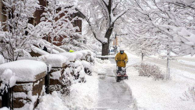
Safety Guidance for Sunday Morning
Even a small amount of snow can create hazards, especially during the first week of December when pavement temperatures fluctuate. Residents are encouraged to:
- Allow extra travel time early Sunday
- Watch for slick bridges and overpasses
- Reduce speed on rural or shaded roads
- Keep headlights on during snowfall
- Bring pets indoors overnight
The NWS reminds the public that “drivers should remain alert for changing road conditions.”
Forecast for the Rest of the Day
After the morning system exits, skies may gradually clear, but cool temperatures will remain in place. Highs are expected in the low to mid-30s, keeping the region seasonably chilly.
Another weak disturbance may approach early next week, though any snow chances appear minimal at this time.
Conclusion
Central Indiana is set for a brief winter preview early Sunday, with light snowfall expected mainly north of I-70. Although totals will remain low, even “up to 1 inch of snow” can create slick conditions for early travelers..