 by
by UNITED STATES — A widespread and potentially dangerous storm system is expected to impact large parts of the Plains and Midwest, bringing multiple rounds of severe weather starting this weekend and continuing into early next week.
Forecasters say the setup could lead to repeated storm activity, increasing the chances of both severe weather and flooding in affected regions.
Storm Activity Kicks Off Saturday
The first wave of storms is expected to develop Saturday, mainly across western Texas and parts of Oklahoma. A weather boundary known as a dryline will help spark thunderstorms, some of which could become severe.

Areas including Lubbock and Amarillo may see:
- Large hail
- Strong wind gusts
- Isolated severe storms
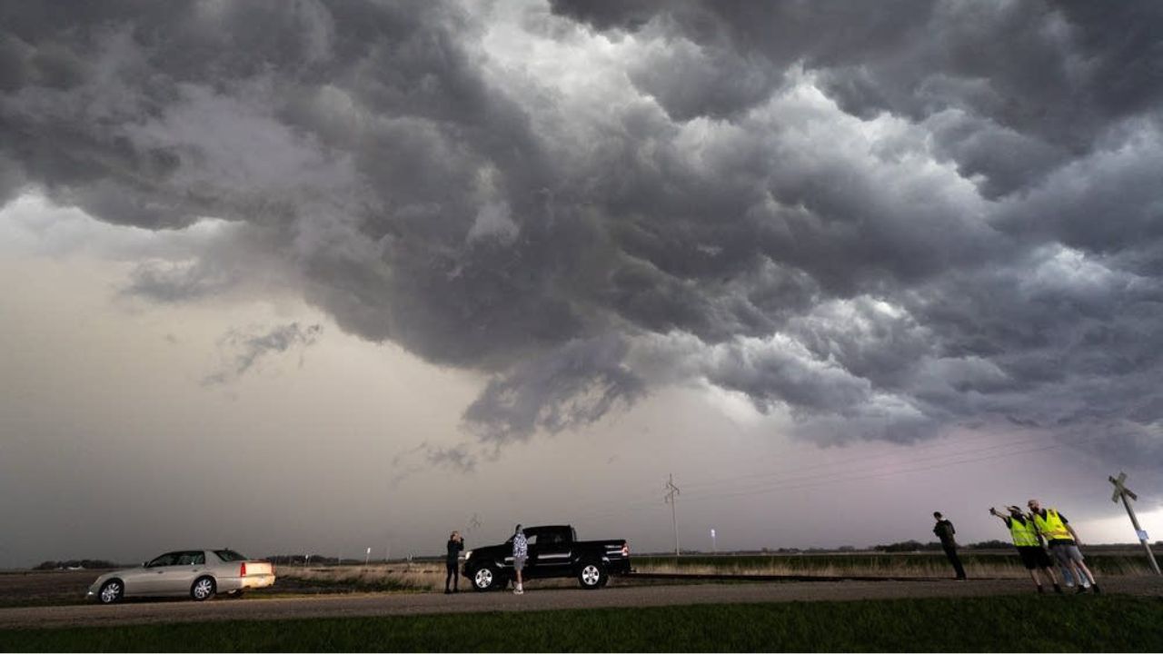
Sunday Brings Increased Tornado Potential
By Sunday, conditions are expected to become more unstable as warm, moist air flows in from the Gulf of Mexico.
This will create a more favorable environment for supercell thunderstorms, which are capable of producing tornadoes.
Forecasters warn that:

- Tornado risk will increase
- Damaging winds and hail remain threats
- Storms could become more widespread
Major cities such as Dallas, Austin, and Oklahoma City could be directly impacted.
Severe Threat Expands Monday
The storm system is expected to grow stronger and spread northward on Monday.
The risk zone could extend from Texas through the Plains into parts of the Midwest, including:
- Kansas City
- Des Moines
- Chicago area
All forms of severe weather—including tornadoes, hail, and damaging winds—will remain possible.
Storm Risk Continues Into Tuesday
The threat is forecast to persist into Tuesday, with storms reaching further east.

Regions from Texas to southern Illinois could see continued severe weather. Cities like St. Louis and Little Rock may face strong storms, though exact timing and intensity could change.
Flooding Concerns Add to the Danger
Alongside severe storms, heavy rainfall is expected in some areas.
Rainfall totals could exceed 2 inches in a short period, especially where storms track over the same locations repeatedly.
This raises the risk of:
- Flash flooding
- Water-covered roads
- Rapid rises in streams and low-lying areas
What’s Driving This Extended Storm Pattern
Meteorologists say this prolonged event is being fueled by a combination of atmospheric factors.
A high-pressure system in the eastern U.S. is pushing warm, moist air northward, while a slow-moving system in the West is helping trigger storms.
Because the system is moving slowly, storms may hit the same areas multiple times, increasing overall risk.
Stay Prepared as Conditions Change
With severe weather expected over several days, officials urge residents to remain alert and monitor updates closely.
Storm conditions can shift quickly, and warnings may be issued with little notice. Preparation and awareness will be key as this active weather pattern unfolds.
Are you located in one of the risk areas? How are you preparing for the upcoming storms? Share your thoughts and stay safe in the comments below.