 by
by Boston, Massa. – Although much of the densely populated Interstate 95 corridor has experienced below-average snowfall this winter, forecasters say two separate weather systems could bring light snow from Washington, D.C. north to Boston through the weekend and into Martin Luther King Jr. Day.
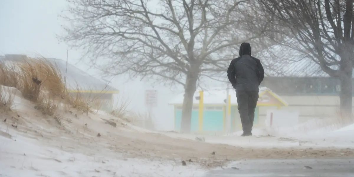
Meteorologists caution that even modest snowfall could still affect travel in major cities, especially during peak holiday traffic periods.
Arctic Front to Bring First Round of Snow
An arctic front is expected to move into the Northeast beginning Saturday, setting the stage for snow in several cities along and near the I-95 corridor.

Forecast models indicate the Poconos in Pennsylvania, Upstate New York, and parts of New England are most likely to see the highest snowfall totals, as colder air will be more firmly in place in these interior and elevated regions.
Along the immediate I-95 corridor — including Washington, D.C. and Philadelphia — snowfall amounts are expected to be lighter but still potentially impactful, with 1 to 2 inches possible in some locations.
Timing and Accumulation Details
Snow may begin as early as Friday night and continue into Saturday morning, with precipitation tapering off later in the day.
Heavier accumulations are forecast west of the I-95 corridor, where higher elevations and colder temperatures will allow snow to accumulate more efficiently. Coastal and urban areas closer to the highway may see mixed precipitation or lighter snowfall totals.

Forecasters note that while New York City and Boston are unlikely to see significant accumulation, a few flakes are possible before precipitation ends on Saturday.
Interior Regions Have Best Chance for Snow Cover
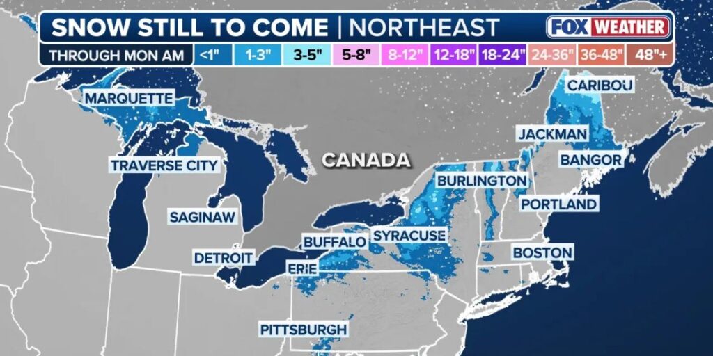
The best chance for measurable snow cover lies in interior areas northwest of major I-95 cities. Locations such as Syracuse, New York, and surrounding regions could see more consistent snow accumulation compared to coastal communities.
These areas are expected to remain cold enough throughout the event to prevent rapid melting, increasing the likelihood of lingering snow on roads and sidewalks.
Second System Could Affect MLK Day
Forecasters are also tracking a second weather system expected to develop late Sunday into Monday morning. This area of low pressure is forecast to move quickly up the Eastern Seaboard, potentially delivering another round of light snow, particularly along coastal areas.
If this system materializes as expected, it could impact Martin Luther King Jr. Day travel, especially during early morning hours.

Travel and Safety Concerns
Even light snowfall can lead to slick roads, reduced visibility, and travel delays, particularly along the heavily traveled I-95 corridor. Holiday travel combined with overnight freezing temperatures may increase the risk of accidents.
Drivers are advised to:
- Allow extra travel time
- Reduce speed on snow-covered or wet roads
- Monitor local weather updates and road conditions
Pedestrians should also watch for icy sidewalks and untreated surfaces, especially during early morning and nighttime hours.
Conclusion
While this weekend’s snow is not expected to bring major winter storms to the Northeast, multiple light snow events could still disrupt travel and daily routines across the I-95 corridor and surrounding regions. Forecasters urge residents and travelers to remain weather-aware as conditions evolve through the holiday weekend.
Share your experiences in the comments below.