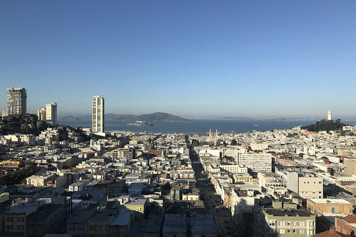
San Francisco Set for Warm Weather and Clear Skies as High Pressure Builds. The National Weather Service in San Francisco has indicated that it will be a warmup starting today, and into next week.
The uptick in temperature is due to the building high pressure over the West Coast according to the latest weather synopsis.
Mid-level moisture, of course, brings with it not only warmer temperatures but also the potential for quite spectacular morning and evening skies.
For those wondering if much-needed rain is in the Bay Area’s future, a clear forecast: high confidence persists that no precipitation will fall within the Bay Area through the first week of December due to this persistent ridge pattern.
Frost advisories, which were in effect early today for parts of the region, including CAZ504, 506, 510, 514>516, have been discontinued, and attention turns to drier air.
Current weather conditions are also going to favor aviation operations.
According to the NWS aviation report, VFR is expected to persist into the forecast period. Relatively light winds with no impactful ceilings are expected, according to the NWS. Most light offshore winds can be expected for SFO and its bridge approach throughout the period; at times, light and variable will predominate, but favor safe and efficient air travel.
The marine outlook is equally peaceful and unthreatening with the National Weather Service expecting “light to moderate northerly winds to continue throughout the forecast period” and adding longer period swells that start early next week. Light seas can be expected during this time so local mariners will maintain favorable conditions as they head out into Northern California’s waters. However, a frost advisory was issued until 9 AM PST this morning, friendly for multiple areas, including but not limited to CAZ516.


 by
by 


