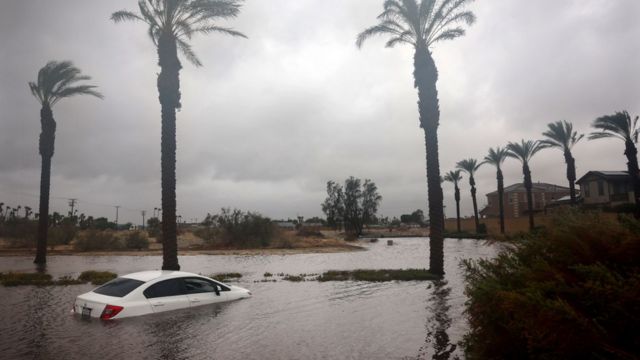
From tonight through Wednesday night, the strongest storm of the season will hit southern Oregon. It will bring heavy rain and strong winds. Showers will last all day today, especially along the coast and in the Southern Cascades, after a cold front moves east.
A stronger frontal system will arrive Tuesday night, driven by a developing upper trough from the western Aleutians. The calm will not last long. Wind gusts of up to 70 mph are expected along the coast and up to 60 mph inland. Wind Advisories and High Wind Warnings have been issued for all areas that will be impacted.
In the coastal mountains, it could rain up to 4 inches, and east of Brookings, it could rain up to 6 inches. Inland areas west of the Cascades will get some rain, but roads will stay clear of winter dangers thanks to the high snow levels. Due to low river levels, major flooding is not likely to happen, but minor floods and debris-clogged waterways could happen.
Source: Powerful Storm Targets Southern Oregon and Northern California with Strong Winds and Heavy Rain


 by
by 


