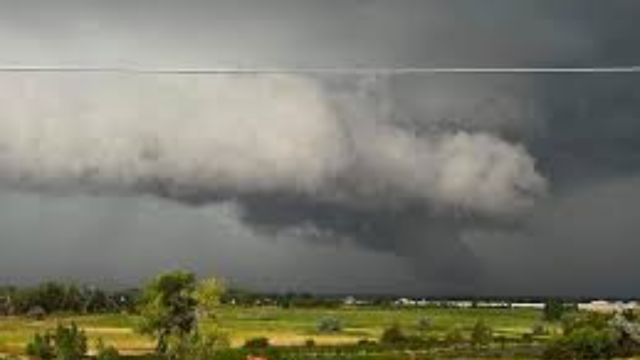
A strong low-pressure system will bring heavy snow to the Rockies tonight and tomorrow. This system will then move into the Midwest and meet up with air that is much warmer and more humid. There could be severe weather on Wednesday because of this difference in air masses and some shear in the top levels of the atmosphere.
Oklahoma, Kansas, Nebraska, Iowa, Missouri, and Wisconsin should all keep a close eye on this situation. The Storm Prediction Center says that northeast Texas will be affected, but I think the storm’s main force will be farther to the north than the picture they released today shows. That doesn’t mean Texas won’t have any bad weather, but the main storms will be farther north.
There is a chance of severe thunderstorms starting late Wednesday morning. The storms will start out as scattered single cells and groups, then form a broken line or a more organized line that will move east, northeast, and southeast. There is a good chance of harmful winds, big hail, frequent lightning, heavy rain, and even some tornadoes.


 by
by 


